Add, edit, and delete map views
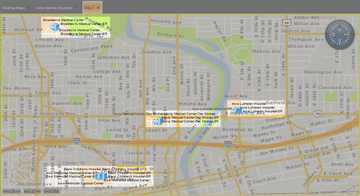
FH Mobile Response incorporates the Environmental Systems Research Institute (ESRI) GIS mapping system. You can use this system to create map views that specify what layers appear on the map, and save these views for fast access in the future. Layers can include icons, streets labels, landmarks, building footprints, location push-pins, routes and routing icons, plumes, and more.
Example: If you want to only see the locations of streets and hospitals on a map, you would create a map view with only the base map, streets, street names (labels), and hospital layers showing, and all other layers hidden.
|
Note:
|
Map views are stored in .MXD files.
Note: You must have purchased FH Mobile Response Premium to add map views of information layers in FH Mobile Response. For information on upgrading from FH Mobile Response Basic to Premium, contact your FH sales representative.