Define an aerial view
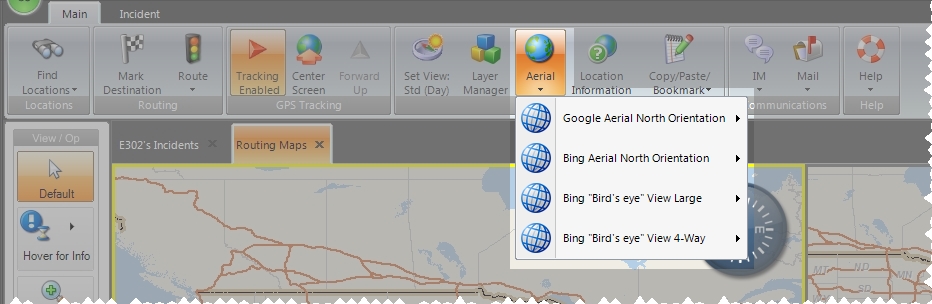
You can configure multiple aerial view options, which appear when you click Aerial on the main toolbar. Views can included Bing maps, Google street views, and Pictometry maps.
Note: You must have purchased FH Mobile Response Premium to define aerial view options in FH Mobile Response. For information on upgrading from FH Mobile Response Basic to Premium, contact your FH sales representative.
-
Choose Go → Config→ Options.
The Options dialog box appears, displaying the Server tab.
-
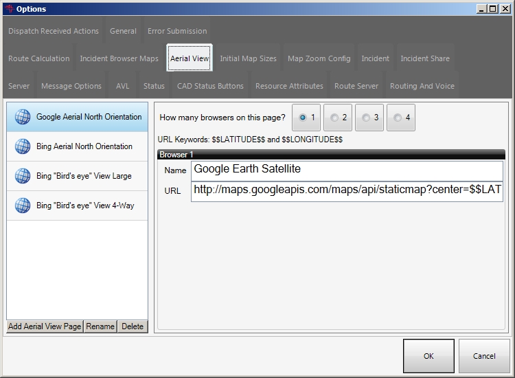
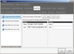
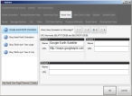
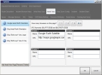
Click the Aerial View tab.

On the left side of the tab, a list of the defined aerial view options that would appear when you click the Aerial button on the main toolbar. On the right side of the tab, the browser windows and URLs associated with the selected view option appear.
-
On the left side of the tab, select the name of the view option you want to define browser windows and URLs for.
On the right side of the tab, the parameters defined for the view option appears
-
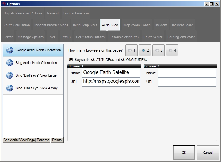
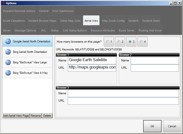
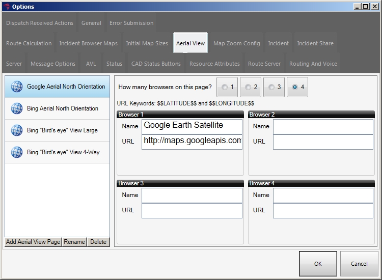
For How many browsers on this page?, select 1, 2, 3, or 4 to indicate the number of browser windows that will appear in the map view tab when you select that option from the Aerial button on the main toolbar.
The number of Browser sections that appear on the tab changes to correspond to your selection.
1
2
3
4
-
In each Browser section, do the following.
- In Name, type a short, descriptive reference for the URL to the aerial view to display in that browser window.
- In URL, type URL to the Internet provider and view you want to display in the browser window.
-
(Optional) Work with the aerial view options.
 Add aerial view options
-
On the left side of the tab, below the list of aerial view options, click Add Aerial View Page.
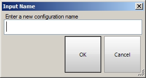
The Input Name dialog box appears.
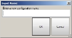
- In Enter a new configuration name, type a name for the aerial view option you are adding
-
Click OK.
The name of the aerial view option appears in the list, and on the right side of the tab, fields for specifying the name and URL of the view option appear.
Rename an aerial view option
- On the left side of the tab, select the name of the aerial view option you want to rename.
-
Below the list of aerial view options, click Rename.
The Input Name dialog box appears.
- In Enter a new configuration name, type a different name or edit the current name for the aerial view option.
-
Click OK.
The name of the aerial view option updates in the list to the name you specified.
Delete an aerial view option
- On the left side of the tab, select the name of the aerial view option you want to delete.
-
Below the list of aerial view options, click Delete.
The view option you selected is removed from the list.
-
- Click OK.